The Bachman Lake trail loop: Length, surface and what is along it.
Written by OnMap.meAbout Bachman Lake ParkUnofficialPublished 2 min read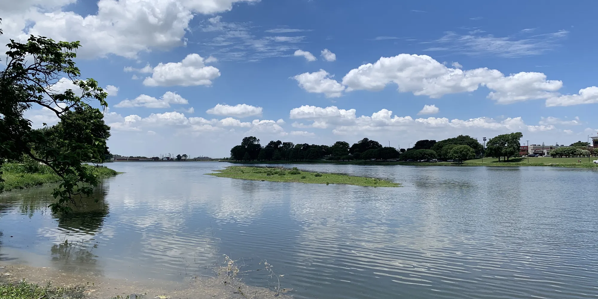
Short answer
The trail is a 3.08 mile loop around the lake, paved with concrete and asphalt and rated easy to moderate by the city. It has an exercise circuit with 16 stations. The park entrance is on W. Northwest Highway.
In detail
How to reach the trailhead and what each side of the lake offers, from the city's trail flyer and park page.
Drive to the trailhead.
From Downtown Dallas the flyer says: go north on I-35, exit Harry Hines Blvd. and merge left onto it for .1 miles, turn right onto Webb Chapel Extension for .3 miles to Northwest Highway, then turn right for .3 miles. The park entrance is on the right. The distance is 6.5 miles.
Know the loop.
The trail runs 3.08 miles through park land around the lake. It is paved with a mixture of concrete and asphalt. The flyer rates the difficulty as easy to moderate.
Use the exercise circuit.
An exercise circuit with 16 stations is positioned along the trail. Benches and water fountains are also listed among the park's features.
Walk the northern bank.
The flyer says that along the northern bank you may see geese and ducks, a grove of bald cypress trees, or sculling on the lake. The Dallas Rowing Club is at the lake.
Walk the southern bank.
The southern bank gives a close-up view of airplanes landing at and taking off from Love Field Airport.
Go further.
The park has nature trails in the Bachman greenbelt. It is also connected to the Lemmon Ave art trail, and from there to Midway Manor Park and the Frontiers of Flight Museum.
Tip. The city's flyer names spring and fall as the best time of year to hike this trail.
Call the park if
- You want to report a problem on the trail
- You plan an organized event on the trail and need to ask about a reservation